5.01 months ago
“Review”
Not free anymore
S L

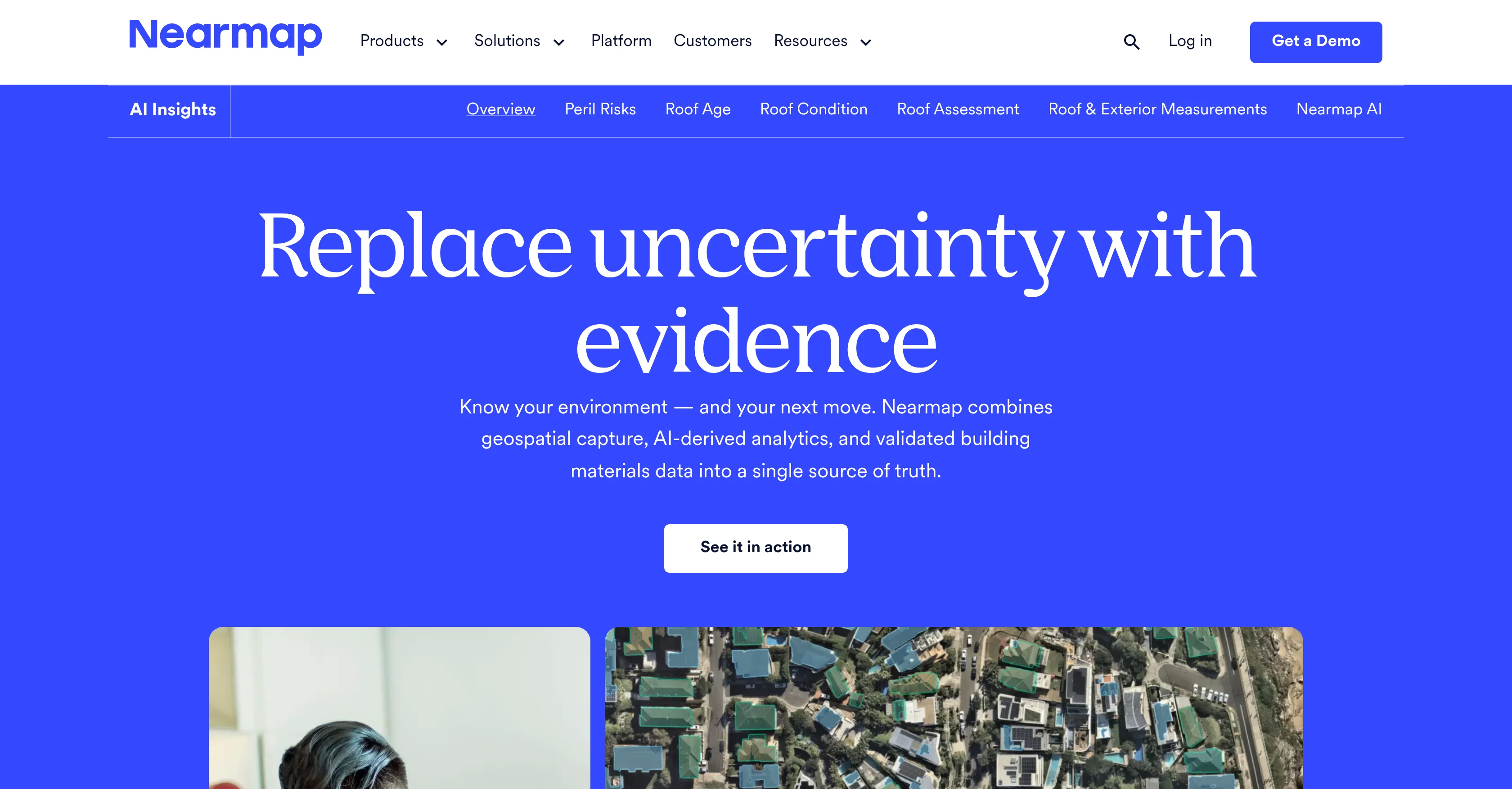
Replace uncertainty with evidence
Nearmap is an geospatial analytic tool that merges geospatial capture, AI-driven analytics, and validated building materials data to foster an improved understanding of the environment around us. One of its key features is the ability to scan neighborhoods in their entirety within minutes from varying angles and across various timescales, providing a comprehensive and clear perspective on demand. Nearmap also offers specialized features to assess different common environmental factors such as roof conditions, solar panels, vegetation, surface types, etc. Its comparison feature gives users the capacity to view historical images side by side in order to understand contextual change over time. It also provides analysis on exposure to fire, cyclone, and hail, relying on real-world data on property condition and regional hazards. Other handy solutions it provides include precise and fast roof and exterior measurements delivered directly into analytic software, reduced dependency on policyholders or onsite adjusters, AI condition scores and 40+ automated detections to provide comprehensive roof health visibility, and the ability to identify defensible space, vegetation density, and 3D topography around every property. These features, among others, are designed to aid various industries to make confident, efficient, and informed decisions. Help other people by letting them know if this AI was useful. Add your own prompts and outputs to help others understand how to use this AI.
When considering Nearmap for integration into your organizational workflow, we recommend deploying a structured score card across three critical operational pillars: Security & Compliance, Integration Friction, and long-term Price Scalability. Rather than looking only at basic feature lists, modern procurement teams must assess how a software platform behaves under high load and how well it fits into the team's data security guidelines.
Depending on your operating region and field, ensure that Nearmap supports standard security layers such as SOC 2 Type II certifications, GDPR compliance, or HIPAA-compliant database encryption. If the tool connects directly to client database tables or handles user passwords, verify that they implement multi-factor authentication (MFA), single sign-on (SSO) integrations, and end-to-end data encryption in transit and at rest.
Siloed data is the primary cause of operational friction. Evaluate if Nearmap has native connectors for your current project trackers, messaging hubs, and customer communication channels. For custom developer requirements, check if they provide a fully documented REST API with reasonable rate limits, comprehensive Webhooks support, and robust SDK packages in your language. A flexible API layer saves hundreds of hours of manual copy-paste overhead.
SaaS pricing packages are often deceptively simple. When reviewing Nearmap's billing structure, map out your team's projected expansion over the next 12 to 24 months. Determine how costs scale as your customer database increases or as you add team members. Factor in setup costs, mandatory support plan upgrades, API access fees, and storage overage rates to understand the true cost before committing to a contract.
By combining verified user reviews from our directory with internal workflow pilot tests, your procurement team can make an informed decision that drives productivity without creating capital waste.
Overall rating
Based on 10 reviews
Not free anymore
S L
Really handy having all those video models in one place. Image-to-video results look pretty convincing and the controls are straightforward. Credits run out fast if you keep testing, but overall a solid option for quick YouTube clips.
Noob Gupta
was good but no longer accessible in there own words "available exclusively to qualified law enforcement agencies, enterprise users and government entities"
Tarrin Mc
@Google Earth AI embraces a plethora of tasks. It helps in visualizing geographic data, guides in making advanced data mapping, and supports in 3D earth modeling. It also provides a platform for location-based services and remote sensing, while incorporating satellite imagery for detailed geospatial analysis.
Abhay raj
Thank you for the feedback, Bella Blast. All of the issues you mentioned have been addressed, and the Learn My Voice engine has been fixed and improved. We really appreciate you taking the time to share this — feedback like yours helps us make the experience better.
Luna Coverdale
I’ve been using Image Combiner for quick image blending tests, and it does exactly what I need without making the workflow complicated. The interface is clean, uploads are simple, and the generated combinations are useful enough to iterate on quickly.
ShanAIDev
It can generate any image I want freely, it's amazing!
Phan Tung
easy to use meets very specific need but for general purpose ( quick enhance)
Salih Aydın
@Choosaro makes it much easier to compare options and make decisions with more clarity. I like that it gives structured analysis, scores, reasoning, strengths and weaknesses, and a clear recommendation instead of a generic AI answer. Very useful for reducing overthinking and choosing the best option faster.
Olivia Grace
Tried the text detector on a document I’ve just created with Chat GPT. It flagged it at totally AI so works.
Mr Abier
Starting Price
Contact vendor for pricing
Pricing may vary based on team size and features selected.